Wales is a small country with a pronounced north and south divide, and visitors frequently underestimate it. The two halves differ in landscape, in the everyday use of the Welsh language, in economic history and, most practically, in how difficult it is to travel between them. Treating Wales as one destination to be covered in a week is the usual result of missing this.
Why is travelling between them so awkward?
Because the mountains run through the middle and the transport network was built to connect each half with England rather than with the other. There is no direct railway from Cardiff to Bangor, and the rail journey between the two involves crossing into England.
By road the A470 runs the length of the country and is scenic, slow and single carriageway for most of its length. Cardiff to Llandudno takes around four hours. Many Welsh people find it easier to reach Manchester or Bristol than the other end of their own country.
How does the landscape differ?
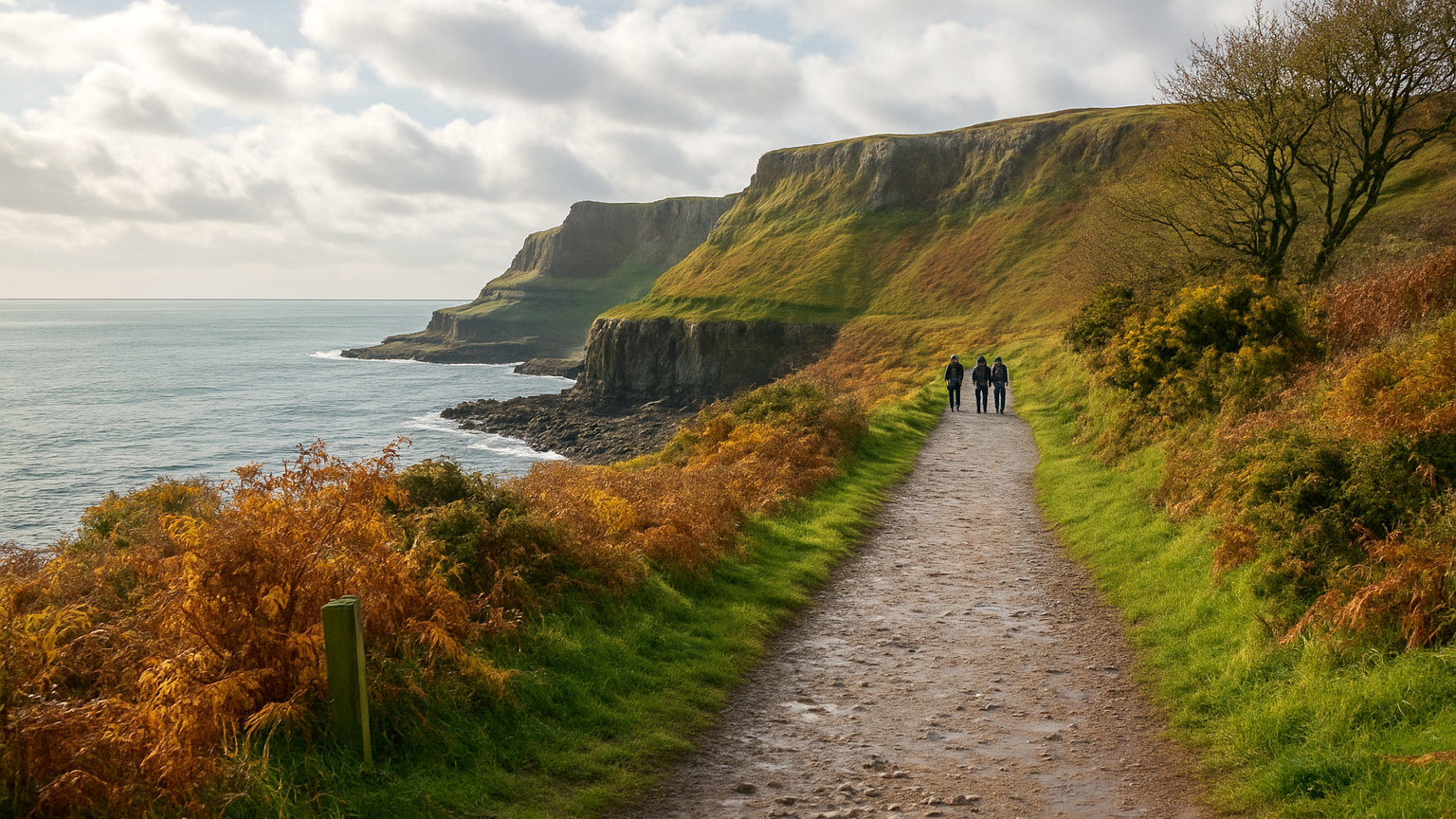
The north has the higher mountains, with Eryri containing everything above three thousand feet in Wales and a landscape shaped by slate quarrying and glaciation. The coastline is rocky, with Anglesey and the Llyn Peninsula projecting west.
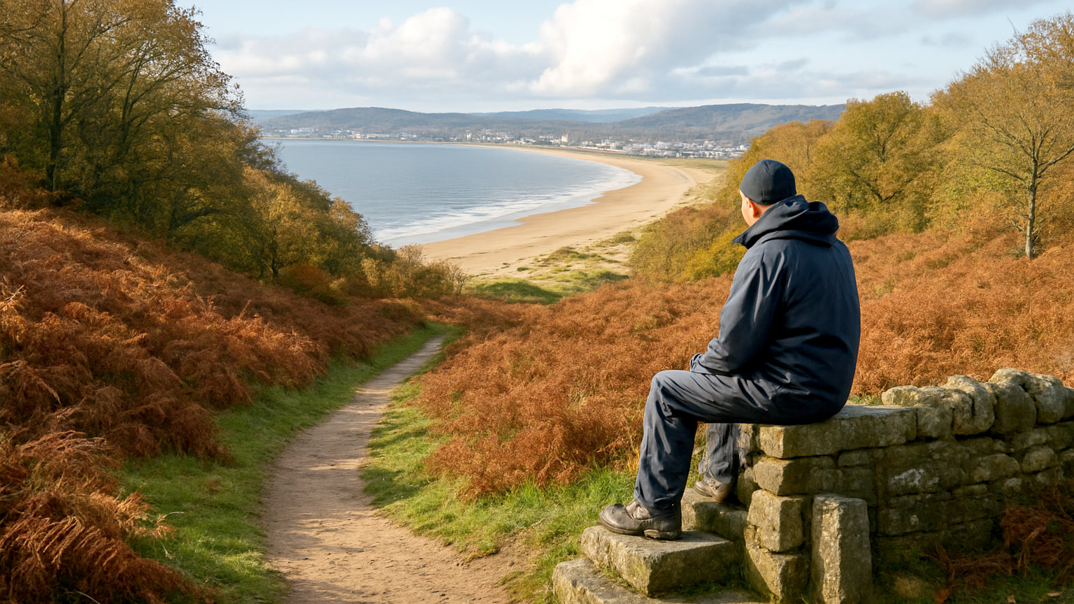
The south has the flat topped sandstone of Bannau Brycheiniog, the wooded valleys of the former coalfield, and a coast that runs from the Severn estuary through the Gower to the cliffs of Pembrokeshire. The far south east around Monmouthshire and the Wye is gentle border country.
Where is Welsh most spoken?
The north west and the west. In Gwynedd, Anglesey and Ceredigion, Welsh is the everyday working language in many communities, and you will hear it constantly in shops and pubs.
In the south east around Cardiff and Newport, English predominates in daily use, though Welsh medium education has expanded rapidly and the number of young speakers is increasing. Carmarthenshire and parts of the south west remain strongly Welsh speaking.
How does industrial history shape each half?
The south was coal and iron, and the valleys running north from Cardiff and Newport were built around pits that have all now closed. That history is visible in the terraced housing, the chapels and in sites such as Blaenavon, a World Heritage Site preserving ironworks and a colliery.
The north was slate, quarried in Gwynedd on an enormous scale and exported worldwide. The slate landscape is also a World Heritage Site, and the quarries, inclines and narrow gauge railways around Blaenau Ffestiniog and Llanberis are among the most striking industrial remains in Britain.
Where are the cities?
Almost entirely in the south. Cardiff, Swansea and Newport hold a large share of the Welsh population, and Cardiff is the capital, with a castle, a Victorian arcade quarter, a redeveloped bay and the national stadium in the city centre.
The north has no city of comparable size. Bangor, Wrexham and St Asaph hold city status but are small, and the largest urban areas are the coastal resorts of Llandudno and Rhyl.
Which half suits which visitor?
The north suits mountain walkers, castle enthusiasts, heritage railway travellers and anyone wanting to hear Welsh spoken as a first language. It is the more dramatic half and the busier one in summer.
The south suits visitors who want a city as part of the trip, easier access from England, coastal walking in Pembrokeshire and the Gower, and quieter uplands in the Bannau. It is also considerably easier to reach from London and the south of England.
Should you try to see both?
Not in under ten days. A week is comfortably filled by either half, and the four hour transit between them costs a day at each end. A better approach for a first trip is to pick the half that matches what you want and leave the other for a second visit, which is what most returning visitors end up doing anyway.