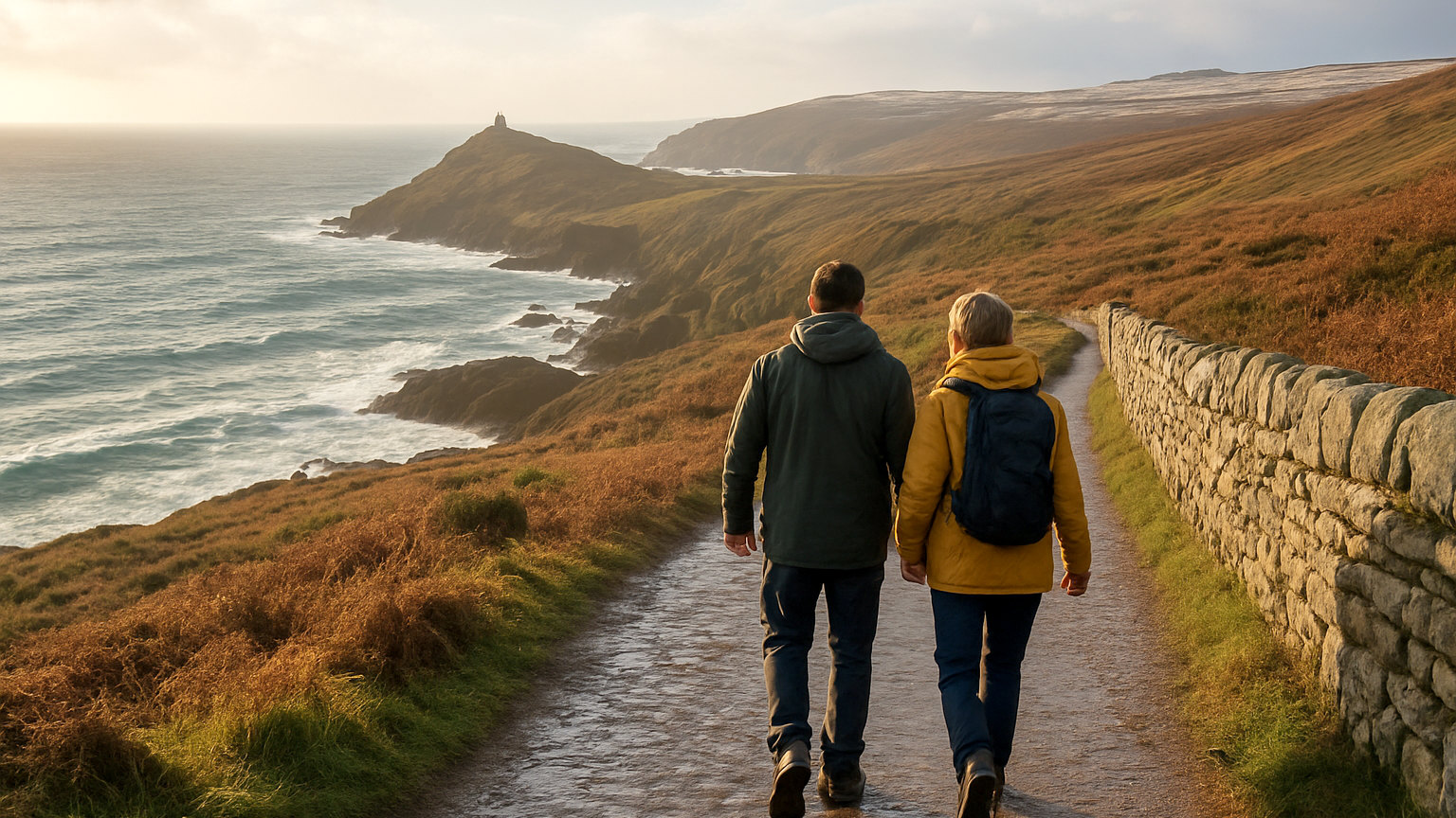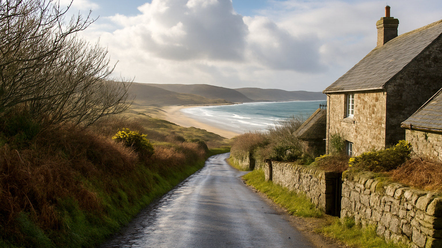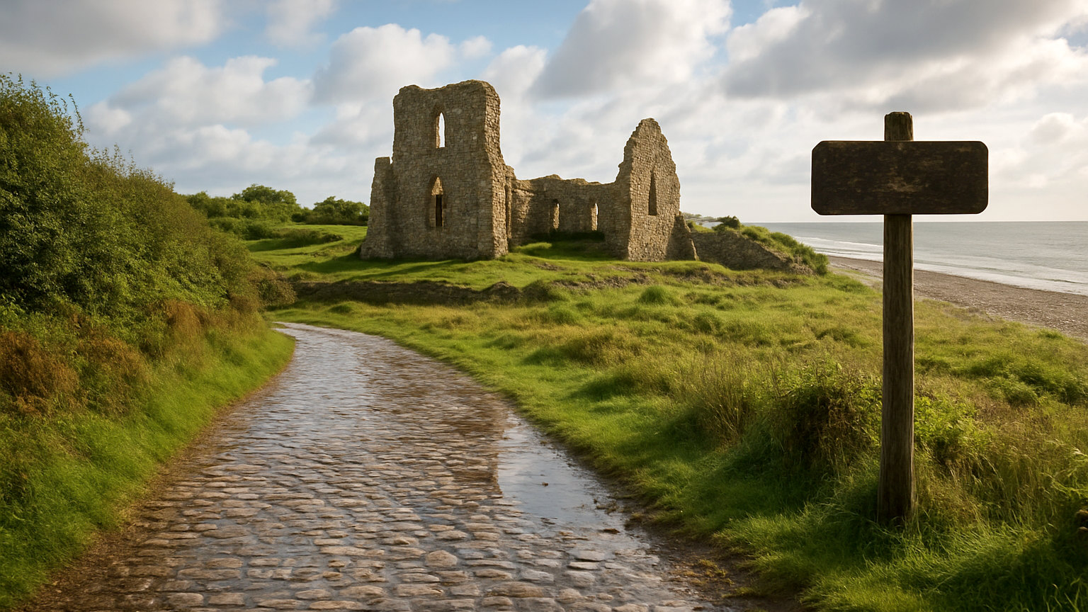
Britain contains thousands of abandoned settlements, lost to plague, enclosure, requisition, reservoir construction and the sea. Several can be visited, and they are among the more thought provoking places in the country precisely because nothing much is there.
What are deserted medieval villages?
Settlements abandoned between roughly the fourteenth and sixteenth centuries, usually visible now as earthworks: house platforms, hollow ways and field boundaries under grass.
Around three thousand are recorded in England alone. Most were abandoned through a combination of plague, climate deterioration and landowners converting arable land to sheep pasture.
Which is the best to visit?
Wharram Percy in the Yorkshire Wolds, the most thoroughly excavated deserted medieval village in Britain, with a ruined church standing among the earthworks in a remote valley.
It is free, reached by a walk from a car park, and the interpretation is good. On a winter afternoon it is entirely deserted, which suits it.
What happened at Tyneham?
The Dorset village was requisitioned in 1943 so the army could use the area for training before the Normandy landings. Residents left expecting to return and were never allowed back.
The village survives as roofless shells with the church and school preserved and interpreted. It sits within a live firing range and opens on published days, usually weekends and holidays.
What about Imber?
A village on Salisbury Plain evacuated in 1943 for the same reasons and similarly never returned to its inhabitants. It remains within a military training area.
The church opens on a small number of days each year, and access is otherwise prohibited. Unexploded ordnance is a genuine hazard on the plain.
Which villages were drowned?
Mardale Green in Cumbria, flooded in the nineteen thirties to create Haweswater, with ruins occasionally visible in drought. Ashopton and Derwent beneath Ladybower in Derbyshire.
Capel Celyn in Gwynedd, flooded in the nineteen sixties to supply water to Liverpool despite sustained Welsh opposition. It remains a significant and painful episode in Welsh political memory, and a formal apology was issued decades later.
What has the sea taken?
Dunwich in Suffolk, once a substantial medieval port and one of the largest towns in England, now a hamlet with most of the old town beneath the sea after centuries of erosion.
Ravenser Odd at the mouth of the Humber, lost entirely in the fourteenth century. Hallsands in Devon, destroyed in a storm in 1917 after offshore dredging removed the shingle bank protecting it.
Is erosion still happening?
Actively. The Holderness coast in Yorkshire is among the fastest eroding coastlines in Europe, and villages there continue to lose land and property.
Several communities face decisions about managed retreat, which makes lost villages a current subject rather than only a historical one.
What is there to see?
Usually earthworks, ruins, a surviving church and interpretation panels. The interest is in reading the ground rather than looking at a building.
Low light in winter and early spring shows earthworks far better than summer growth, which is when archaeologists photograph them.
How should you approach these places?
Quietly. Several are within living memory of the families displaced, and at Tyneham and Capel Celyn in particular the loss is still felt by descendants.
Where a site is within a military area, obey the signage absolutely and stay on marked routes.
How do you find them?
County historic environment records list them, and Ordnance Survey mapping marks earthworks and antiquities. Aerial photography reveals a great many more.
Most are on private farmland with no access, so the visitable ones are a small subset, and the few that are open are worth the effort.
What can you read in the earthworks?
More than it appears. Rectangular platforms are house sites, sunken lines are hollow ways worn by traffic, and long parallel ridges are medieval ploughing preserved under later grass. Once you can identify ridge and furrow, you see it across a great deal of English farmland, which is the clearest surviving evidence of how the medieval countryside was worked.