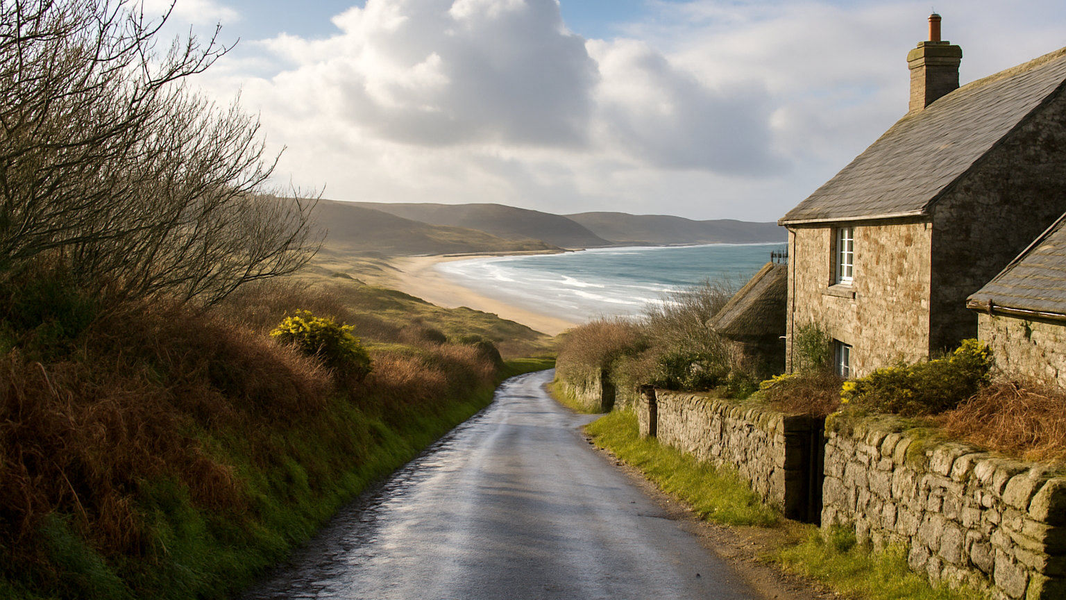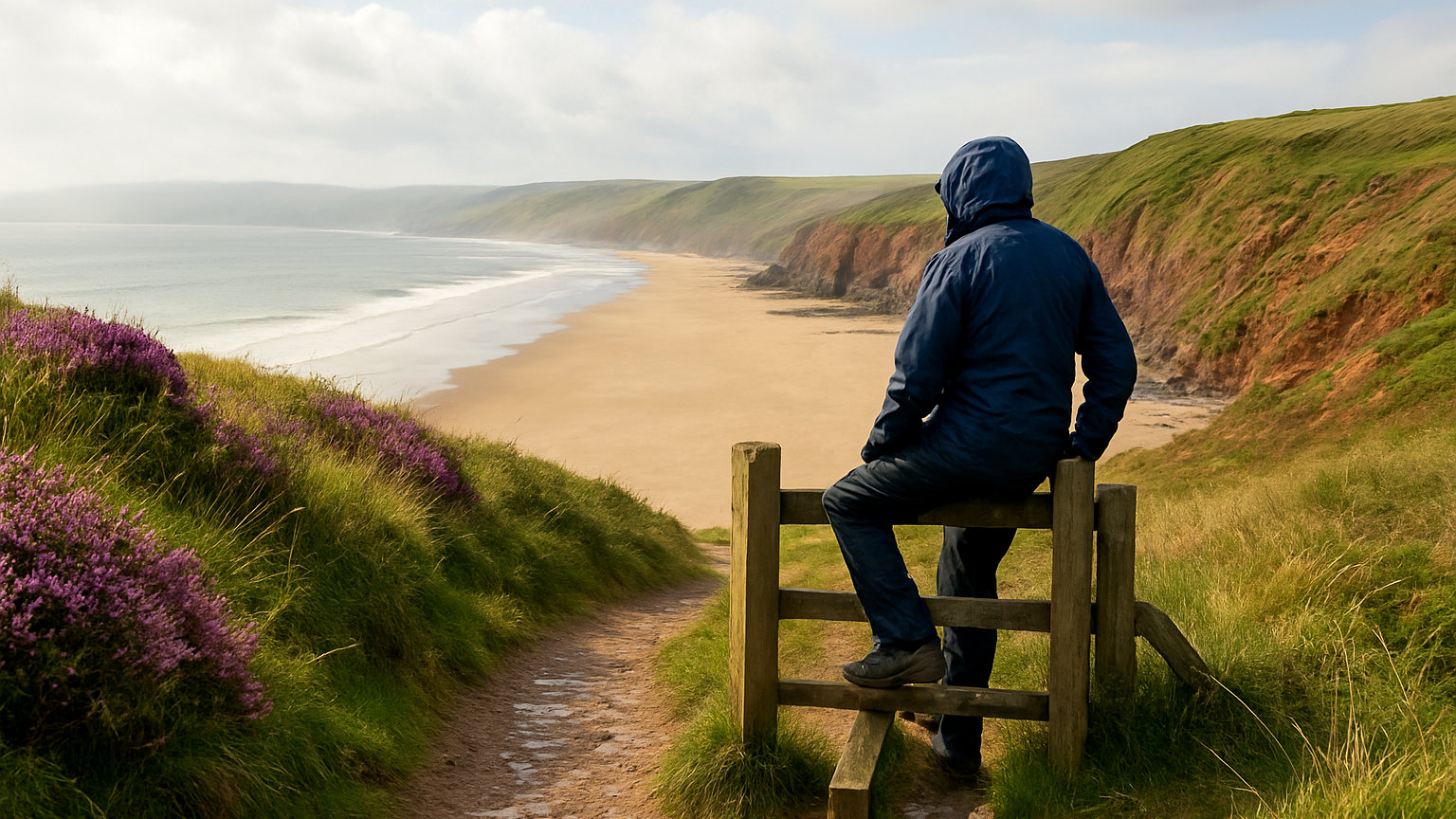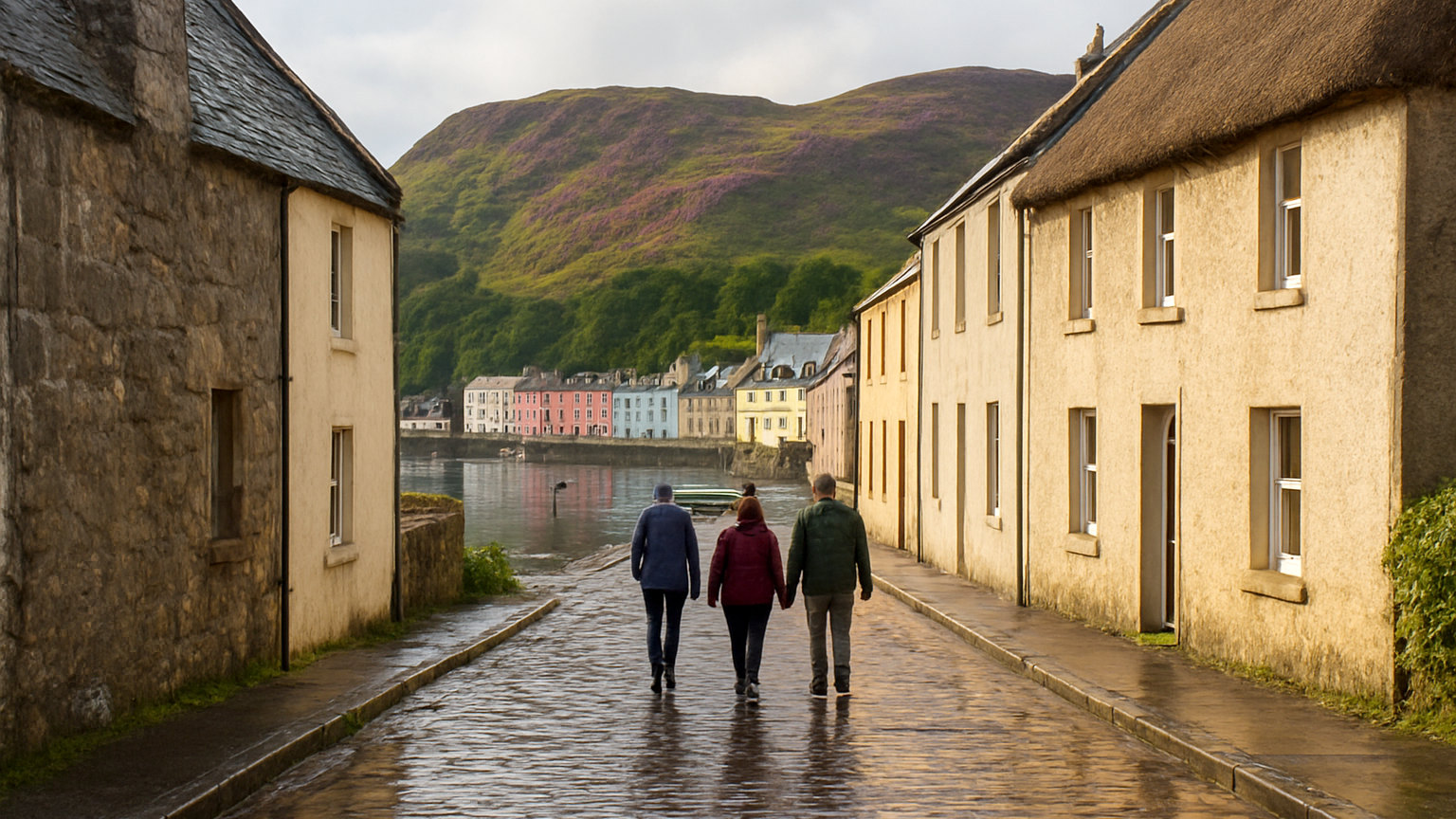
Britain has a longer coastline than most countries of its size and a road network that follows a good deal of it. The best coastal stretches are worth driving for their own sake rather than to get anywhere, which is a different way of using a car and requires a different kind of planning.
Which is the best known?
The Atlantic Highway, running through north Devon and into Cornwall, high above the sea for much of its length with a succession of villages and beaches below it.
It is a main road rather than a lane, which makes it manageable, and the stretch between Bideford and Bude is the finest part.
What about the Jurassic Coast?
The coast road across Dorset between Weymouth and Bridport, running behind Chesil Beach and over the ridge, with views along the shingle bank and out to Portland.
Narrow, hilly and slow in summer, and among the most rewarding short drives in southern England.
Which northern coasts are best?
Northumberland, where minor roads run behind the dunes between Alnmouth and Berwick, with castles at intervals and almost no traffic outside August.
The Yorkshire coast between Whitby and Scarborough, climbing over the moor edge with the sea below, and the Durham heritage coast, restored and largely unvisited.
What about Scotland?
Wester Ross, from Applecross north through Torridon and Gairloch, which is among the most dramatic driving in Britain and includes long single track sections.
The Argyll coast, Ayrshire with views to Arran, the Solway shore in Galloway and the far north coast of Caithness and Sutherland.
Which Welsh coast roads work?
The Ceredigion coast between Aberystwyth and Cardigan, the Llyn Peninsula loop, and the Anglesey coast road, all quieter than the Eryri roads inland.
The Gower peninsula from Swansea, which is short, and Pembrokeshire, where the main road runs slightly inland with frequent detours to the sea.
What is the Causeway route like?
The Antrim coast road in Northern Ireland runs at sea level beneath basalt cliffs for miles, engineered in the nineteenth century, with the glens opening inland.
It is one of the finest coastal drives in these islands and, being a main road, is straightforward to drive.
How should you drive them?
Slowly and with frequent stops. A coastal drive taken at the speed limit sees very little, and the point is the stopping rather than the covering of distance.
Use laybys and car parks rather than stopping on the road, which on narrow coastal lanes is both dangerous and inconsiderate.
Which direction should you go?
Whichever puts the sea on your left, since in Britain that means the passenger side and the driver can watch the road rather than the view.
It also makes stopping considerably easier, since laybys on the seaward side are reached without crossing traffic.
When are they best?
Autumn and spring, with low light, clear air and empty roads. Summer brings congestion to every popular coastal route, and the narrow sections become genuinely slow.
Winter offers dramatic seas and short days, so plan a shorter route than the map suggests.
What should you check?
Fuel, since coastal areas have few filling stations and rural prices are high. Parking at the places you intend to stop, which fills early in season.
And the tide if any part of the route is tidal, which applies to several causeways and low lying coastal roads.
What about cyclists and walkers?
Coastal lanes carry a great deal of both, frequently on blind bends with no verge to move onto. Pass cyclists with the same room you would give a car, wait rather than squeezing past, and expect walkers on roads where the coast path uses tarmac for a stretch. On single track coastal roads this is the most common source of near misses.
One final point: the best coastal driving is frequently on the minor road parallel to the main one. Where an A road runs a mile inland, the lane along the shore is usually slower, emptier and considerably better.