East Anglia is the bulge of England east of Cambridge, made up of Norfolk, Suffolk, most of Cambridgeshire and parts of Essex. It is the flattest and driest part of the country, which gives it a landscape built on sky rather than terrain, and it is routinely skipped by visitors heading for the more obviously dramatic west.
Why is the weather different here?
Prevailing weather in Britain arrives from the Atlantic and drops most of its rain on the western hills before it reaches the east. East Anglia sits in the resulting rain shadow and receives markedly less rainfall than Cumbria, Wales or Devon, with parts of it among the driest places in the country.
The trade off is wind and cold. There is little between the Norfolk coast and the Arctic, and an easterly in February is genuinely bitter. Summer, though, is reliably drier here than almost anywhere else in England.
What is the coast like?
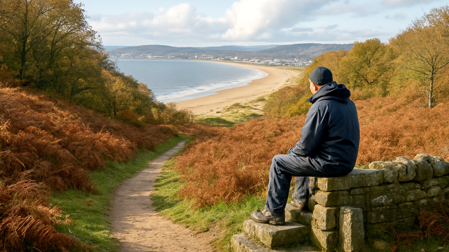
Varied and largely undeveloped. The north Norfolk coast is a sequence of salt marshes, shingle spits and enormous tidal beaches at Holkham, Wells and Brancaster, backed by pine woods and flint villages. It is one of the best stretches of coastline in England for walking and birdwatching.
The Suffolk coast is softer, with heathland running to low cliffs, and includes Southwold, Aldeburgh and the reserve at Minsmere. Both coasts are quiet by national standards outside the peak weeks.
Why is it so good for birdwatching?
Position and habitat. The region sits on the eastern edge of the country facing the continent, so migrating birds make landfall here in spring and autumn in large numbers. The combination of salt marsh, reed bed, heath and open water provides an unusual variety of habitat in a small area.
Reserves at Minsmere, Titchwell, Cley and the Ouse Washes are among the most productive in Britain, and the autumn and winter wildfowl arrivals on the Wash number in the tens of thousands. Seal colonies at Blakeney Point and Horsey are also substantial and viewable, with pupping seasons that draw large numbers of visitors.
What are the wool towns?
Suffolk grew rich on wool in the medieval period and then stopped growing, which left a set of towns and villages with disproportionately grand churches and timber framed buildings that were never redeveloped. Lavenham is the best known and among the most complete medieval streetscapes in England.
Long Melford, Kersey, Clare and Bildeston follow the same pattern with fewer visitors. The churches in particular are far larger than the settlements now justify, which is precisely what makes them worth seeing.
How do the Broads work?
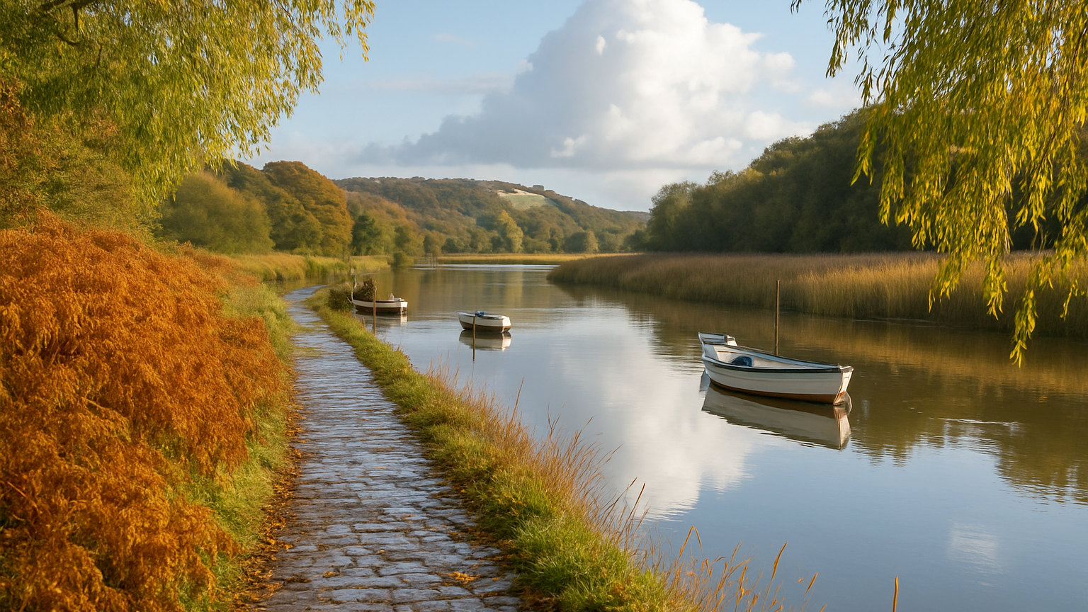
The Norfolk Broads are a network of shallow lakes and rivers created by medieval peat digging that later flooded. They form a national park in all but name and are navigable for well over a hundred miles, mostly without locks.
Hiring a boat for a few days is the standard way to see them and requires no licence or previous experience. The alternative is to walk or cycle the paths and visit the staithes and villages from land, which costs nothing and shows you a good deal of the same landscape.
Is it good for cycling?
Among the best in England, largely because of the terrain. Long distances are possible without significant climbing, the lanes are quiet, and several waymarked routes cross the region. The wind is the only real obstacle and is worth planning a route around rather than fighting in both directions.
What else should you not miss?
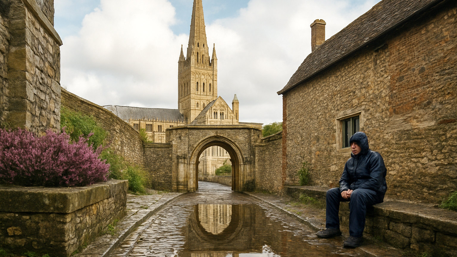
Cambridge, for the colleges, the Backs and the punting, which is the single strongest urban draw in the region. Ely Cathedral, visible for miles across the fens and unlike anything else in England in its setting. Sutton Hoo, where the Anglo Saxon ship burial was excavated. And Norwich, which has a Norman cathedral, a castle and more medieval churches than any city north of the Alps.
Four or five days covers the coast and one inland cluster comfortably. A week lets you add the Broads or the fens without rushing.