The Peak District became the first national park in Britain in 1951, largely because of a long campaign for access to moorland that had been closed to walkers. It sits within an hour of several large cities and is among the most visited national parks in the world, which shapes both its appeal and its problems.
What are the two halves?
The Dark Peak in the north is gritstone: high, wild moorland with peat bogs, tors and long edges of rock favoured by climbers. It is the tougher walking and the emptier country.
The White Peak in the south is limestone: green dales, drystone walls, wooded gorges and villages. It is gentler, prettier and easier to walk, and the two are so different that visitors frequently do not realise they are in one park.
What was the mass trespass?
In 1932 several hundred walkers deliberately trespassed on Kinder Scout, then closed grouse moor, and several were imprisoned. The protest is widely credited with advancing the campaign that produced national parks and, much later, open access legislation.
Kinder is now open to walk. It is a demanding plateau of peat groughs where navigation is genuinely difficult in poor visibility, and it should not be treated as a casual outing.
What is at Castleton?
Four show caves within a short distance, including one entered by boat along an underground river and another that is the only place in the world where Blue John, a banded purple fluorspar, is mined.
Above the village stands Peveril Castle on its crag, and Mam Tor with its ridge walk and the abandoned road below, destroyed by landslips and left as a buckled ruin.
Which houses can you visit?
Chatsworth, a vast house in a landscaped park with a major art collection, formal gardens and a farmyard, which is among the most visited houses in England.
Haddon Hall nearby is the opposite: a fortified medieval manor barely altered since the sixteenth century, which is why it appears constantly in period filming.
What are the best walks?
Dovedale with its stepping stones and Mam Tor's ridge for short popular routes. Stanage Edge and Curbar for gritstone escarpments with enormous views.
Kinder Scout and Bleaklow for serious moorland days, and the limestone dales around Lathkill and Monsal for gentler valley walking.
What is the Monsal Trail?
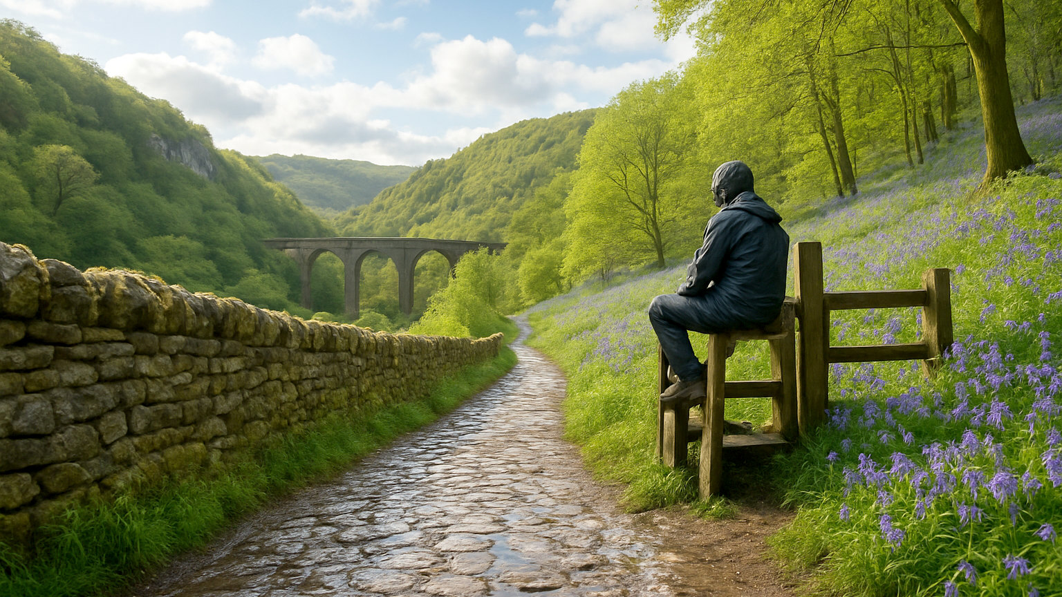
A former railway converted to a traffic free path running for around eight miles through the White Peak, passing through four lit tunnels and across a viaduct above the Wye.
It is flat, surfaced and suitable for bikes, wheelchairs and pushchairs, which makes it the most accessible route in the park. Cycle hire operates at both ends.
How busy does it get?
Extremely, at the honeypots. Car parks at Castleton, Dovedale, Mam Tor and Stanage fill before nine on summer weekends and bank holidays.
Arriving early transforms every one of them, and the wider moorland is empty even when the villages are not. Midweek and out of season are entirely different.
Can you get there without a car?
Yes, unusually well. The line between Manchester and Sheffield runs through the Hope Valley with stations at the trailheads, and Buxton and Matlock have branch services.
Bus networks cover the main villages, and linear walks between stations are among the best ways to use the park.
Where should you stay?
Castleton, Edale or Hathersage for the Dark Peak. Bakewell, Ashbourne or Tideswell for the White Peak. Buxton and Matlock for towns with more facilities.
Accommodation is cheaper than the Lake District and books up on weekends, particularly in the villages with pubs.
When should you go?
Late summer for the heather, which turns the moors purple through August. Autumn for colour in the dales and low light on the edges.
Winter is quiet and can be severe on the tops, with the high crossings closed by snow several times most years.
What should you be careful of?
Moorland weather, which differs sharply from the valleys and can close in fast. Peat bogs and poor visibility on the plateaux, where navigation skills are needed rather than optional.
Also parking legally, since verge parking at popular sites is enforced and blocks the narrow lanes for residents and farm traffic.