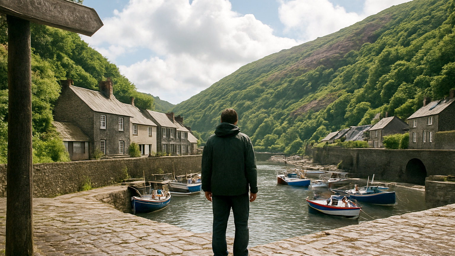
Exmoor is smaller, greener and considerably quieter than Dartmoor, combining high moorland with wooded valleys and a coastline of the highest sea cliffs in England. It became the first International Dark Sky Reserve in Europe and holds the largest population of red deer in England.
What is the coast like?
Steep and wooded, with cliffs rising over three hundred metres and combes running down to small coves, which makes it the most dramatic section of the entire south west coast path.
The path between Lynmouth and Porlock is the finest stretch, including a section that climbs to Countisbury and gives enormous views along the Bristol Channel to Wales.
What is the Valley of Rocks?
A dry valley running parallel to the sea near Lynton, with weathered rock formations and feral goats, reached by a level clifftop path from the town.
It is among the easiest spectacular walks in the south west and takes under an hour from Lynton.
What is Dunkery Beacon?
The highest point on Exmoor and in Somerset, at just over five hundred metres, reached by a short walk from a road with views across to Wales and Dartmoor on a clear day.
It is heather moorland at its best in August and is an easy objective compared with anything of similar prominence.
Where do you see the deer?
Across the moor, and most reliably in the wooded valleys at dawn and dusk. The autumn rut in October brings stags roaring and clashing, which is the most impressive wildlife event in southern England.
Keep well back, particularly during the rut when stags are unpredictable, and use binoculars rather than approaching.
What are the wooded valleys?
Deep combes carrying fast streams, filled with sessile oak and among the best examples of temperate rainforest in England, with mosses and lichens covering everything.
Horner Wood, the East Lyn valley and Watersmeet are the best of them and give sheltered walking in poor weather.
What is Tarr Steps?
A clapper bridge of large stone slabs across the Barle, of uncertain age and repeatedly rebuilt after floods, in a wooded valley with walking upstream and down.
It is the most visited spot on Exmoor and is best early in the day.
What about the dark skies?
Exmoor received dark sky reserve status in 2011, the first in Europe, and holds star gazing events and a festival each autumn.
On a clear moonless night the Milky Way is plainly visible, and several car parks are designated for astronomy with red lighting.
What is the Lorna Doone connection?
A nineteenth century novel set on the moor, which drew visitors from the moment it was published and gave the area a romantic reputation it has never lost.
The valley associated with it is walkable from Malmsmead, and the landscape is genuine even where the story is not.
How does it compare with Dartmoor?
Smaller, gentler and much greener, with far fewer people, better woodland and a coastline Dartmoor does not have.
Dartmoor has the wilder high ground and the harder walking. For most walkers Exmoor is the more varied and pleasant, and the less demanding in navigation.
Where should you stay?
Lynton and Lynmouth for the coast, Porlock and Dunster for the eastern side, Simonsbath or Exford for the centre of the moor.
Dunster has a castle, a yarn market and a working watermill, and is among the best preserved small towns in the south west.
What should you know before walking?
That the coast path here has serious ascent, with several climbs of three hundred metres, and that it is more demanding than the mileage suggests.
Moorland weather changes quickly and the wooded valleys have poor signal. Carry a map, and check tide times if any route uses a beach.
Can you get there without a car?
With difficulty. Trains reach Barnstaple and Taunton, and buses run to Lynton, Minehead and some moorland villages, though services are limited and reduce in winter. A heritage railway runs from Minehead to Bishops Lydeard. For walkers the coast path with bus links along the shore is the most practical car free option.